


Delaware State Forests now on Avenza Maps
Department of Agriculture | Forest Service | Newsroom | Date Posted: Friday, April 16, 2021

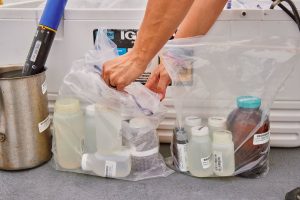 Delaware Releases Strategic Framework for Contaminants of Emerging Concern and First PFAS Implementation Plan
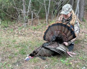 Turkey Hunting Season to Offer an Extra Day; Season Opens April 4 and 5 with Youth and Non-ambulatory Hunts
 Delaware Veterans Connect, Create, and Showcase Their Work Through Free Statewide Art Classes
 Court rules with State, clears way for offshore wind substation critical to Delaware’s energy future
 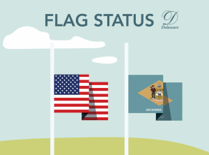 Governor Meyer Orders Lowering of Flags to Honor Former State Senator Nancy Cook
 DOJ announces arrest of Delmar officer in stalking, sexual contact investigations
 Delaware Division of the Arts Announces 15th Annual State Employee Art Exhibition Winners DOJ secures life sentences, additional time for two men involved in the murder of Shiheem Durham
 Results of OHS’ St. Patrick’s Day Weekend DUI Checkpoint and Sober Rides Program
 Public Advocate Names New Deputy and Key Staff to Strengthen Consumer Advocacy
 Bring Your Family History to Life at the Archives’ Community Digitization Days
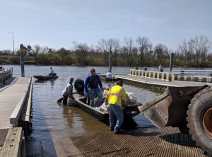 Registration Now Open for DNREC-Sponsored Christina River Watershed Cleanup
 Delaware accelerates statewide early literacy strategy with more than $8m to strengthen classroom reading instruction
 Upstate Trout Season to Open in New Castle County Streams with Youth-Only Day Set for April 4
 Delaware Division of the Arts Seeks Public Input in New Statewide Strategic Planning Process
 DNREC Announces 2025-‘26 Deer Harvest Totals, Launches New Interactive Game Harvest Dashboard
 Property Reassessment & Your Insurance: What Really Drives Premium Costs
 Amid Hints of Spring, DNREC Reminds Delawareans of Yard Waste Options, Including Beneficial Reuse
 Governor Matt Meyer Returns from India Trade Mission with New Investment and Innovation Opportunities
 DNREC Now Soliciting Community Water Quality Improvement Grant Project Proposals
 Delaware Officials Highlight DTRN360, Innovative Behavioral Health Care Coordination Platform AG Jennings sues Trump Administration to stop latest round of illegal tariffs Delaware Policy Leaders Take Aim at Primary Care Reform, Health Care Affordability
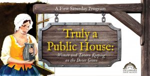 Women and Tavern Keeping on the Dover Green at the Archives’ March First Saturday Program
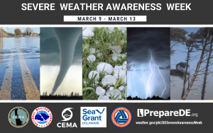 Delaware Governor Matt Meyer Proclaims March 9-13, 2026 Severe Weather Awareness Week
 DNREC to Resume Sand Bypass Operations At Indian River Inlet After Signing Contract With First State Crane Service AG Jennings intervenes in USPS case that would allow guns to be mailed with virtually no limits
 Delaware Department of Education sets measurable targets to accelerate student achievement statewide AG Jennings blocks another Trump Admin attempt to defund SNAP, collect personal data
 Delaware Entradas a las fiestas para ver los partidos de la Copa Mundial de la FIFA 2026 saldrán
 Delaware Lt. Gov Gay, Education Secretary Marten celebrate 302 Day with fourth graders Governor Matt Meyer Issues Statement on the Unanimous Upholding of Senate Bill 21 by the Delaware Supreme Court
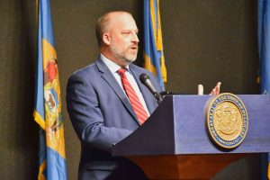 DSHA announces participants in zoning and land use reform pilot program Governor Matt Meyer Signs Executive Order Streamlining State Permitting Regulations
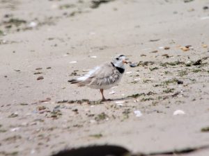 DNREC Closes The Point at Cape Henlopen March 1 to Protect Nesting, Migrating Birds
 DHSS, DNREC Reopen PFAS Awareness and Outreach Grant Opportunity Through March 27
 Diverse Histories Virtual Exhibit Launches, Expanding Delaware’s Story Beyond 1776 AG Jennings, DOJ employee to accompany Rep. Sarah McBride and Sen. Lisa Blunt Rochester to State of the Union Address
 15th Annual State Employee Art Exhibition Now Open at Delaware State University
 Delaware 250 to Host “Celebrate Delaware” Black-Tie Celebration at Hotel Du Pont
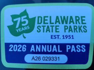 Fee Season to Begin March 1, Kicking off Year-Long 75th Anniversary Celebration at Delaware State Parks
 State of Delaware Announces 10 a.m. Opening for Kent and Sussex Counties on February 24, 2026
 State of Delaware Announces Office Operations for Tuesday, February 24, 2026
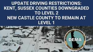 Kent and Sussex County Downgraded to Level 2 Driving Restriction, New Castle County Remains at Level 1 Driving Warning
Department of Agriculture | Forest Service | Newsroom | Date Posted: Friday, April 16, 2021
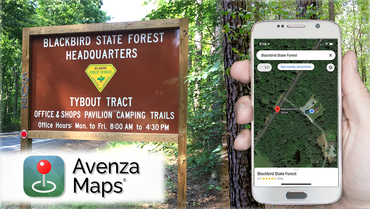
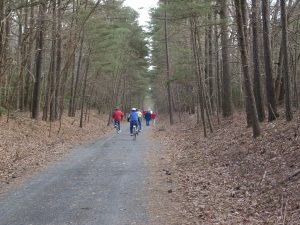
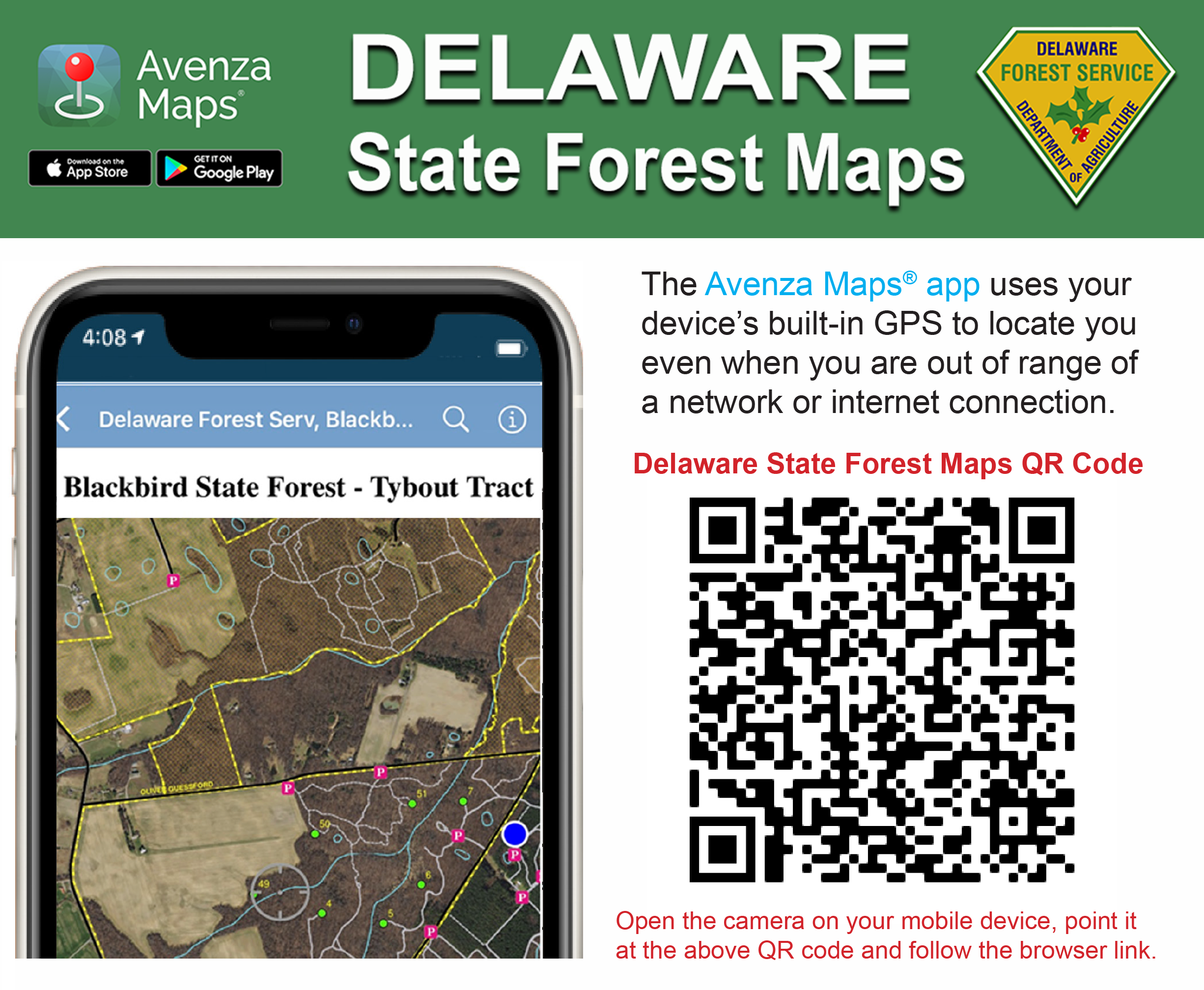
DOVER, Del. (April 16, 2021) — Visitors to Delaware state forests can now use a mobile phone to locate trails, hunting stands, or parking areas using the Avenza Maps® mobile app (available for iPhone or Android devices from the App Store or Google Play.) All state forest maps are free to download. The app uses the phone’s built-in GPS to locate it on the map, even when the device is out of range of a network or Internet connection. Users can select a particular map of interest, download it, and store it on their phone. A blue dot follows users wherever they go so they always know where they are on the map. Visitors can zoom in and out, navigate from place to place, mark points of interest (such as where a car is parked or where a hunting stand is located) and easily attach photos exactly where they were taken.
Phone users can use their cell phone camera to capture a unique QR code (below) and use their mobile browser to access a link to all of the Delaware Forest Service maps.
Read the Avenza Maps® fact sheet![]() for more information about the features of this mobile app.
for more information about the features of this mobile app.
State forest offices also offer printed maps at the main office. Standard PDF maps for all state forest tracts (which can be printed) are also available at de.gov/forestmaps.
Keep up to date by receiving a daily digest email, around noon, of current news release posts from state agencies on news.delaware.gov.
Here you can subscribe to future news updates.
Department of Agriculture | Forest Service | Newsroom | Date Posted: Friday, April 16, 2021
DOVER, Del. (April 16, 2021) — Visitors to Delaware state forests can now use a mobile phone to locate trails, hunting stands, or parking areas using the Avenza Maps® mobile app (available for iPhone or Android devices from the App Store or Google Play.) All state forest maps are free to download. The app uses the phone’s built-in GPS to locate it on the map, even when the device is out of range of a network or Internet connection. Users can select a particular map of interest, download it, and store it on their phone. A blue dot follows users wherever they go so they always know where they are on the map. Visitors can zoom in and out, navigate from place to place, mark points of interest (such as where a car is parked or where a hunting stand is located) and easily attach photos exactly where they were taken.
Phone users can use their cell phone camera to capture a unique QR code (below) and use their mobile browser to access a link to all of the Delaware Forest Service maps.
Read the Avenza Maps® fact sheet![]() for more information about the features of this mobile app.
for more information about the features of this mobile app.
State forest offices also offer printed maps at the main office. Standard PDF maps for all state forest tracts (which can be printed) are also available at de.gov/forestmaps.
Keep up to date by receiving a daily digest email, around noon, of current news release posts from state agencies on news.delaware.gov.
Here you can subscribe to future news updates.
Delaware's Governor
State Agencies
Elected Officials
General Assembly
Delaware Courts
State Employees
Cities & Towns
Delaware State Code
State Regulations
Business First Steps
Phone Directory
Locations Directory
Public Meetings
Voting & Elections
Transparency
Delaware Marketplace
Tax Center
Personal Income Tax
Privacy Policy
Weather & Travel
Contact Us
Corporations
Franchise Tax
Gross Receipts Tax
Withholding Tax
Delaware Topics
Help Center
Mobile Apps
E-mail / Text Alerts
Social Media

Built by the Government Information Center
©MMXXVI Delaware.gov
